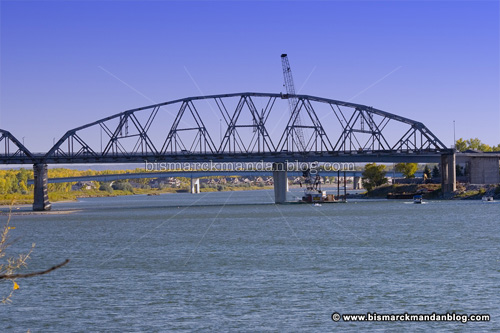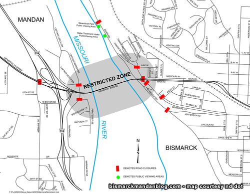

In addition, the navigable river channel will be closed for 24 hours, from around 9:30 am Monday until mid-morning Tuesday. I don’t know the boundaries, but I would expect them to be from the Grant Marsh or NP bridge to the Expressway Bridge. The good rule of thumb is to just stay clear.
Only the west span is coming down Monday; The additional spans will come down later this month. When these demolitions occur, of course the new bridge will be closed (see the map). Plan accordingly. Road closures will be from around 9:45am until 10:30am.
Want resources? Mike Kopp at the ND DOT was gracious enough to pass them along:
A large copy of the above map, in PDF format so it can be printed;
Construction Update (Word DOC) containing work details;
The FAQ (Frequently Asked Questions) about the bridge demolition process (Word DOC).
You can expect plenty of photos and perhaps even video here after I get a chance to parse Monday’s results. After that, we still have two spans to go!
I’ve also heard that a fantastic vantage point is near/in/on the new Energy Center up on BSC hill. I have friends who work in that building who will be glued to the windows when this takes place! I suppose that fancy new building is going to have a lot of noseprints on the inside of its glass exterior.
