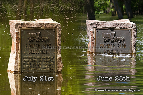
No, I’m not talking about the Enya album. I’m actually talking about indications of how high the river level has been. One of the best ways for someone who doesn’t live in a flood-affected area to get a handle on the water level is to find a familiar place which can give you a good point of reference. For many, including myself, Pioneer Park is one of those places. If you look at the photo above, you can tell that the water level has dropped significantly.
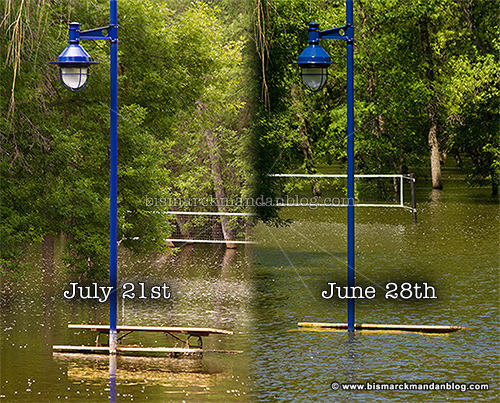
Picnic tables that were bobbing in the water before are protruding from the water quite nicely now.
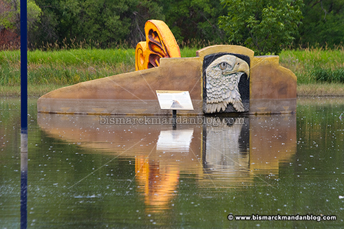
The only thing monumental about these things is the the waste of tax money to produce them. In any case, there’s a good reference point here as well. A clear high water mark can be seen and the water was up to the signage at one point as well.
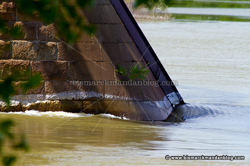
That’s not all: the pilings for the NP railroad bridge have a tale to tell as well. Note the turbulence along the side of the pillar. I’ve got some amazing photos and videos of that from earlier in the flood event, I just haven’t had time to share them…yet.
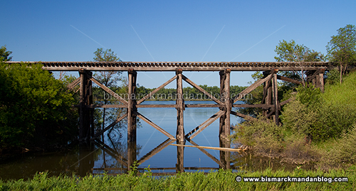
Even at good ol’ Fort Lincoln, there are signs of receding water. In addition to the birds-eye view of the flood from the top of the northeast blockhouse, there’s also this little slice of backwater.

Once again, the structure gives a good indication of water finally receding. There’s a beaver that hangs out in this little inlet who I think has been enjoying the high water levels and is in for some disappointment! A couple of weeks ago I watched him slap his tail as he swam back and forth.
With releases from the Garrison Dam continuing to diminish, I’m sure we’ll begin to see a major difference. I notice that the river gauge in Bismarck indicated 23.67 feet earlier today, but that’s obviously a glitch. Hopefully we’ll start a steady decline toward normal river levels soon!


